
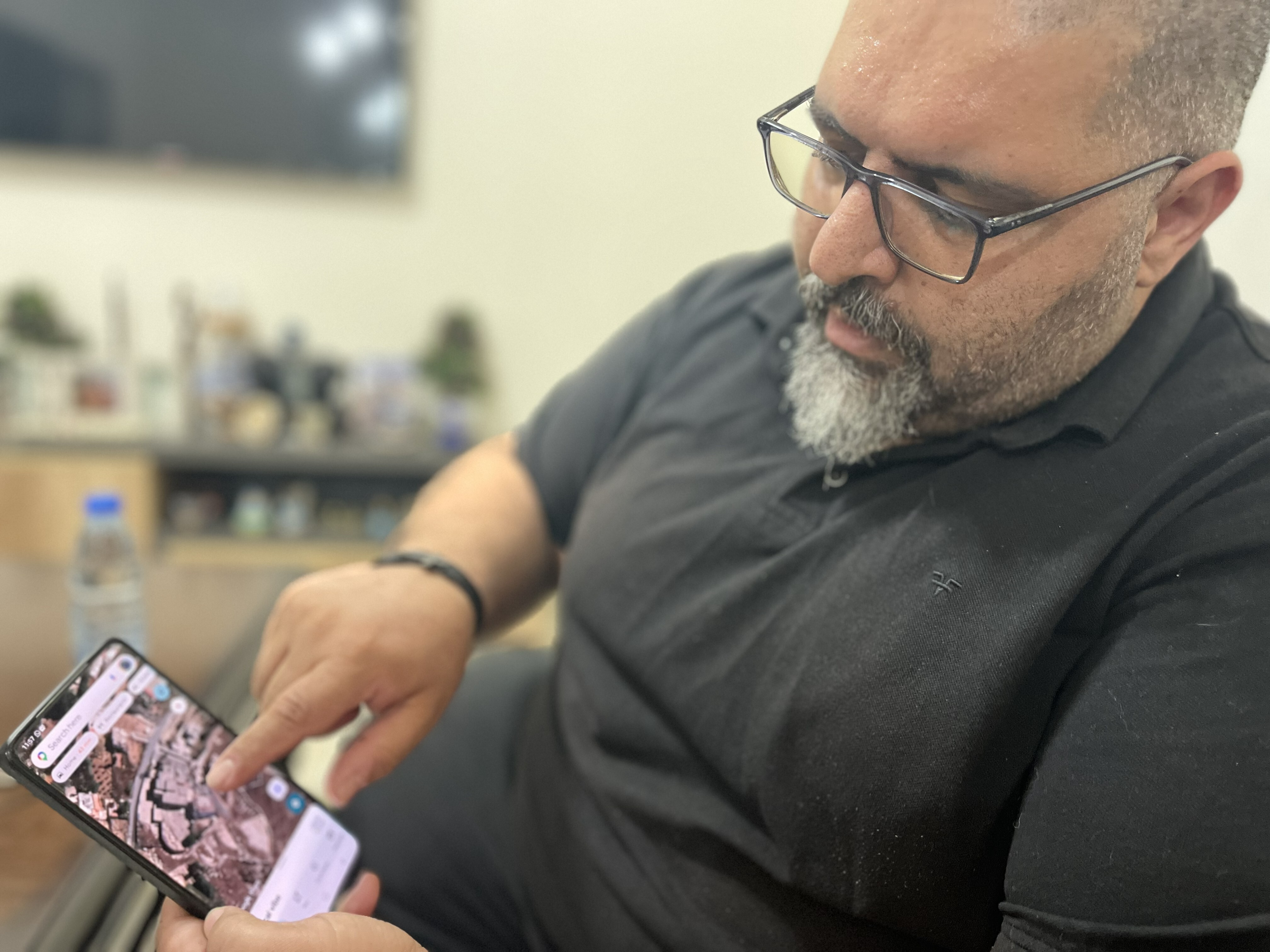
BEIRUT, LEBANON – In a poignant and increasingly common practice, thousands of Lebanese citizens displaced by the ongoing conflict in southern Lebanon are seeking solace and information from an unexpected source: commercial satellite imagery. Unable to return to their villages and towns due to the pervasive threat of violence and military operations, these individuals are paying for high-resolution images to assess the damage, or indeed, the survival, of their homes.
The widespread evacuations have left entire communities deserted, transforming once-bustling areas into ghost towns. For many, a lifetime’s work and emotional investment are tied to these properties, making the uncertainty particularly agonising. With traditional communication networks often disrupted and immediate access impossible, satellite imagery has emerged as a crucial, albeit impersonal, lifeline.
A Glimpse from Above: The New Normal
The process, often facilitated through local intermediaries or online services, involves procuring recent satellite photographs of specific addresses or areas. For a fee, typically ranging from a few hundred to a couple of thousand Australian dollars depending on the resolution and recency, displaced families can obtain detailed overhead views. These images can reveal everything from structural damage and collapsed roofs to evidence of shelling or even the undisturbed presence of their homes. This innovative approach highlights the profound impact of modern technology in humanitarian crises, offering a sliver of control in an otherwise uncontrollable situation. NPR World reported on this burgeoning trend, noting the desperation driving many to embrace this costly, yet often illuminating, option.
The Emotional Cost: Hope and Heartbreak
The emotional weight carried by these satellite images is immense. For some, a clear picture of an intact roof brings a wave of relief, a fragile hope for eventual return and rebuilding. For others, the detailed devastation captured from orbit serves as a stark confirmation of their worst fears, transforming abstract reports of destruction into undeniable visual evidence. This digital window into their former lives comes with a heavy emotional toll, oscillating between fleeting moments of optimism and profound despair. The inability to physically be present to assess damage or retrieve belongings only exacerbates the sense of loss and helplessness.
Navigating a Damaged Landscape
Beyond simply checking on homes, these satellite images also serve a broader purpose. They allow displaced residents to gain a better understanding of the overall state of their communities – whether infrastructure like roads, schools, and hospitals remain standing. This information is vital for future planning, whether for eventual returns, the delivery of humanitarian aid, or longer-term reconstruction efforts. The data gathered, though anecdotal for now, paints a grim picture of the widespread impact of the conflict on civilian populations and built environments.
Long-Term Implications for Recovery
While satellite imagery offers immediate answers, it also underscores the scale of the challenges facing Lebanon. The reliance on such technology reflects a profound breakdown in trust and communication within affected areas. As the conflict continues, the long-term implications for displacement, property rights, and community rebuilding will be significant. The images, while providing closure for some, also highlight the immense recovery efforts that will be required, potentially for years to come, to breathe life back into these once-vibrant southern Lebanese communities threatened by the ongoing conflict. The cost of these images, often a significant sum for families already under financial strain, is a testament to the depth of their attachment to their homes and their communities.